

Great Britain
Great Britain is an island situated to the northwest of Continental Europe. It is the ninth largest island in the world, and the largest European island. With a population of about 59.6 million people in mid-2008, it is the third most populated island on Earth. Great Britain is surrounded by over 1,000 smaller islands and islets. The island of Ireland lies to its west. Politically, Great Britain may also refer to the island itself together with a number of surrounding islands which comprise the territory of England, Scotland and Wales.
All of the island is territory of the sovereign state of the United Kingdom of Great Britain and Northern Ireland, and most of the United Kingdom's territory is in Great Britain. The term "Great Britain" (and the abbreviation 'GB') is the traditional 'short form' of the full country title 'the United Kingdom of Great Britain and Northern Ireland', although usage of 'the UK' has increased more recently. Most of England, Scotland, and Wales are on the island of Great Britain, as are their respective capital cities: London, Edinburgh, and Cardiff.
The Kingdom of Great Britain resulted from the political union of the kingdoms of England and Scotland with the Acts of Union 1707 on 1 May 1707 under Queen Anne.
In 1801, under a new Act of Union, this kingdom merged with the Kingdom of Ireland to create the United Kingdom of Great Britain and Ireland. After the Irish War of Independence, most of Ireland seceded from the Union. Currently the kingdom is named the United Kingdom of Great Britain and Northern Ireland.
Political definition
Main articles: Kingdom of Great Britain and United Kingdom of Great Britain and Northern Ireland
Great Britain is the largest island of the United Kingdom of Great Britain and Northern Ireland. Politically, Great Britain also refers to England, Scotland and Wales in combination, and therefore also includes a number of outlying islands such as the Isle of Wight, Anglesey, the Isles of Scilly, the Hebrides, and the island groups of Orkney and Shetland. It does not include the Isle of Man and the Channel Islands which are not part of the United Kingdom, instead being self-governing dependent territories of that state with their own legislative and taxation systems.
The union of the kingdoms of England and Scotland began with the 1603 Union of Crowns, a personal union under James VI of Scotland, I of England. The political union that joined the two countries happened in 1707, with the Acts of Union merging the parliaments of each nation, and forming the Kingdom of Great Britain, which covered the entire island.
Geographical definition
Further information: Geography of England, Geography of Scotland, and Geography of Wales
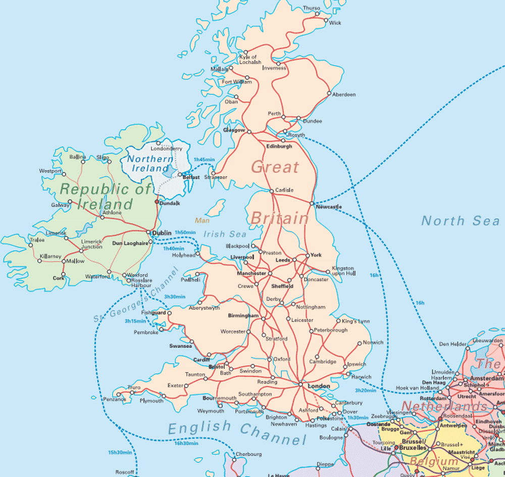
Great Britain lies to the northwest of Continental Europe and east of Ireland. It is separated from the continent by the North Sea and by the English Channel, which narrows to 34 kilometres (21 miles) at the Straits of Dover. The island is physically connected with continental Europe via the Channel Tunnel, the longest undersea rail tunnel in the world which was completed in 1993. It stretches over about ten degrees of latitude on its longer, north-south axis, and occupies an area of 209,331 km² (80,823 square miles).Geographically, the island is marked by low, rolling countryside in the east and south, while hills and mountains predominate in the western and northern regions. It is surrounded by over 1,000 smaller islands and islets.
It is the third most populous island after Java and Honshū.
The English Channel is thought to have been created between 450,000 and 180,000 years ago by two catastrophic glacial lake outburst floods caused by the breaching of the Weald-Artois Anticline, a ridge which held back a large proglacial lake, now submerged under the North Sea. Around 10,000 years ago, during the Devensian glaciation with its lower sea level, Great Britain was not an island, but an upland region of northwestern Europe, lying partially underneath the Eurasian ice sheet. The sea level was about 120 metres (390 ft) lower than today, and the bed of the North Sea was dry and acted as a land bridge to Europe, now known as Doggerland. It is generally thought that as sea levels gradually rose after the end of the last glacial period of the current ice age, Doggerland became submerged beneath the North Sea, cutting off what was previously the British peninsula from the European mainland by around 6500BC. An alternative hypothesis is that much of the land was inundated about the same time by a tsunami, caused by a submarine landslide off the coast of Norway known as the Storegga Slide.