

Sernovodsk Secondary School
Project:
Let’s protect Baikal

Project work made by:Gurin, Kamaikin, Karimov, Ovsyannikov, Udivankin
Project work checked by: Teacher T.A. Melnikova
2012
Contents
At first
History of the Baikal
Sources of pollution
Wildlife and vegetation
In conclusion
The used literature

At first
Let’s talking about the lake Baikal. It is the deepest lake in the world, water in the lake so clear and pure, that you can see the objects in the water at a depth of 10 meters. In the lake a lot of species of animals and plants. But now we are losing the lake and all its beauty. We need to save the lake, in another case our future generation, perhaps, haven’t seen it in all its original beauty.
History of the Baikal
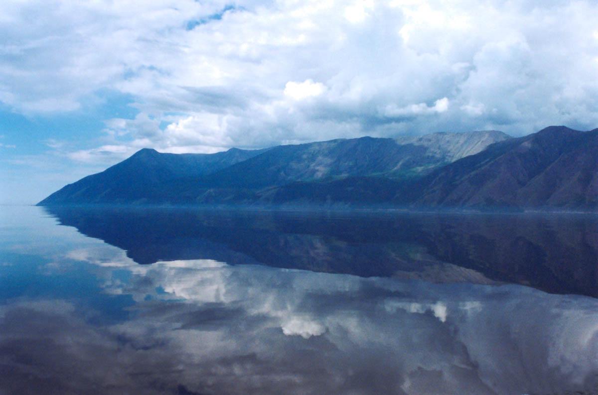
Geography and hydrography A digital elevation model of Lake Baikal region The Yenisei River basin, Lake Baikal and the settlements of Dikson, Dudinka, Turukhansk, Krasnoyarsk and Irkutsk Lake Baikal * UNESCO World Heritage Site Country Russian Federation Type Natural Criteria vii, viii, ix, x Reference 754 Region ** Asia Inscription history Inscription 1996 (22nd Session) * Name as inscribed on World Heritage List ** Region as classified by UNESCO Lake Baikal was known as the "North Sea" in historical Chinese texts.[citation needed] It was situated in the then Xiongnu territory. Little was known to Europeans about the lake until Russia expanded into the area in the 17th century. The first Russian explorer to reach Lake Baikal was Kurbat Ivanov in 1643. The Trans-Siberian railway was built between 1896 and 1902. Construction of the scenic railway around the southwestern end of Lake Baikal required 200 bridges and 33 tunnels. Until its completion, a train ferry transported railcars across the lake (from Port Baikal to Mysovaya) for a number of years. At times during winter freezes, the lake could be crossed on foot—though at risk of frostbite and deadly hypothermia from the cold wind moving unobstructed across flat expanses of ice. A mass-crossing of military-historical significance (which did indeed leave many dead from cold-exposure) was the 1920 Great Siberian Ice March. Beginning in 1956, the impounding of the Irkutsk Dam on the Angara River raised the level of the lake by 1.4 m (4.6 ft).[16] As the railway was built, a large hydro-geographical expedition headed by F.K. Drizhenko produced the first detailed contour map of the lake bed.[4] Lake Baikal is in a rift valley, created by the Baikal Rift Zone, where the Earth's crust pulls apart.[7] At 636 kilometres (395 mi) long and 79 km (49 mi) wide, Lake Baikal has the largest surface area of any freshwater lake in Asia (31,722 km2/12,248 sq mi) and is the deepest lake in the world (1,642 m/5,387 ft). The bottom of the lake is 1,186.5 metres (3,893 ft) below sea level, but below this lies some 7 km (4.3 mi) of sediment, placing the rift floor some 8–11 kilometres (5.0–6.8 mi) below the surface: the deepest continental rift on Earth.[7] In geological terms, the rift is young and active—it widens about two cm per year. The fault zone is also seismically active; there are hot springs in the area and notable earthquakes every few years. The lake is divided into three basins: North, Central, and South, with depths of about 900, 1600, and 1400 m, respectively. Fault-controlled accommodation zones rising to depths of about 300 m separate the basins. The North and Central basins are separated by Academician Ridge while the area around the Selenga Delta and the Buguldeika Saddle separates the Central and South basins. The lake drains into the Angara tributary of the Yenisei. Its age is estimated at 25–30 million years, making it one of the most ancient lakes in geological history. It is unique among large, high-latitude lakes, in that its sediments have not been scoured by overriding continental ice sheets. U.S. and Russian studies of core sediment in the 1990s provide a detailed record of climatic variation over the past 250,000 years. Longer and deeper sediment cores are expected in the near future. Lake Baikal is furthermore the only confined fresh water lake in which direct and indirect evidence of gas hydrates exists.[17][18][19] The lake is completely surrounded by mountains. The Baikal Mountains on the north shore and the taiga are technically protected as a national park. It contains 27 islands; the largest, Olkhon, is 72 km (45 mi) long and is the third-largest lake-bound island in the world. The lake is fed by as many as three hundred and thirty inflowing rivers.[5] The main ones draining directly into Baikal are the Selenga River, the Barguzin River, the Upper Angara River, the Turka River, the Sarma River and the Snezhnaya River. It is drained through a single outlet, the Angara River.
Lake origin Baikal from space The origin of Baikal still causes scientific disputes. Scientists traditionally define age of the lake in 25 — 35 million years. This fact also does Baikal by unique natural object as the majority of lakes, especially glacial origin, there live on the average 10 — 15 thousand years, and then are filled with an oozy precipitation and become boggy. However there is also a version about youth of Baikal, put forward by the doctor of geologo-mineralogical sciences A.V. Tatarinov in 2009 which received indirect confirmations during the second stage of expedition of "Worlds" on Baikal. In particular, activity of mud volcanoes at the bottom of Baikal allows scientists to assume that the modern coastline of the lake only 8 thousand years, and a deep-water part — 150 thousand years [19]. Undoubtedly only that the lake is located in a riftovy hollow and on a structure is similar, for example, to the basin of the Dead Sea. One researchers explain formation of Baikal it an arrangement in a zone of a transformny break, others assume existence near Baikal mantiyny плюма, the third explain formation of a hollow by a passive rifting as a result of a collision of the Euroasian plate and Hindustan. Anyway, transformation of Baikal proceeds still — in lake vicinities constantly there are earthquakes. There are assumptions that the prosedaniye of a hollow is connected with formation of the vacuum centers owing to outpouring of basalts on a surface (Quaternary Period).
